Skip to content
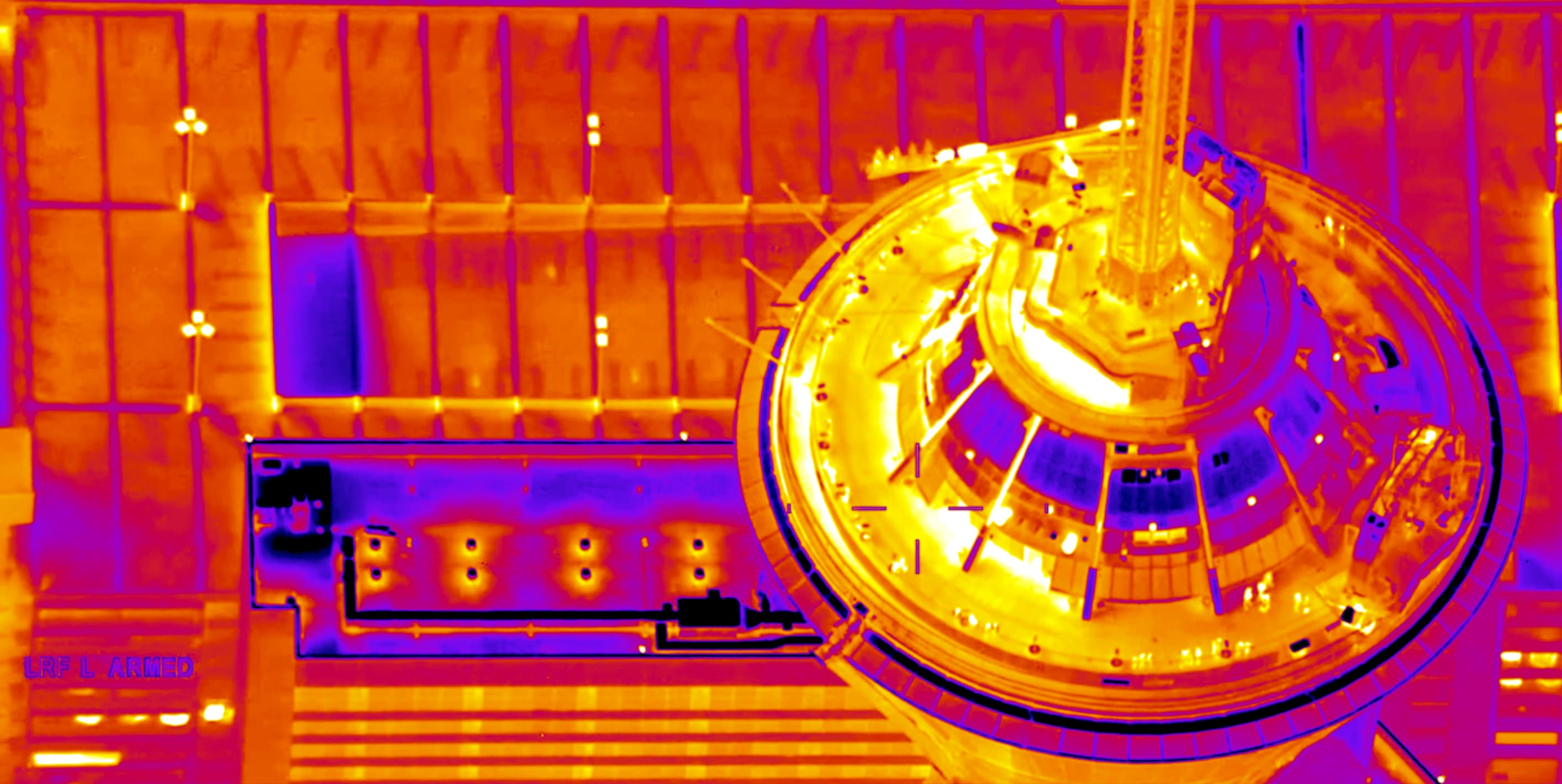
Aerial thermal infrared view of the Seattle skyline and Space Needle

FEED 01 — MWIR / IRONBOW · 60HZ

Infrared Systems · Engineered Since 2009

Engineering theRight InfraredSolution

We bridge the gap between complex sensor specifications and real-world performance — giving you the technical insight to select, integrate, and field the right thermal core with confidence.

Scroll to assess capability
Government AgenciesResearch InstitutionsEducational OrganizationsStartupsEstablished ManufacturersGovernment AgenciesResearch InstitutionsEducational OrganizationsStartupsEstablished ManufacturersGovernment AgenciesResearch InstitutionsEducational OrganizationsStartupsEstablished Manufacturers

The Brief

Infrared technology is complex — even for experienced engineers. Since 2009, MTech Imaging has turned that complexity into real-world capabilities, with a team carrying over two decades of infrared expertise.

Our story
How we engage

A method, not a catalog.

We don't just sell cameras. We help you translate application requirements into practical hardware — and support integration and installation.

01

Assess

First, we work with your team to analyze your application requirements — evaluating the trade-offs like SWaP, environmental constraints, and target range to identify the optimal sensors.

02

Configure

Next, we help your engineers select and specify the exact spectral band, performance grades, frame rates, and lens options to meet your requirements.

03

Support

Then, we provide your developers with the integration insight they need to handle the physical installation, data capture, and interpretation.

Where infrared performs

The Power to See

From the research laboratory to wildfire detection, from whale tracking to earth observation from orbit, see what you need to see.

All Products
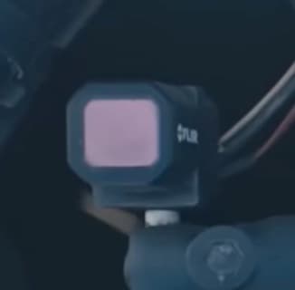
Land — infrared imagingDesert Racer with FLIR Infrared Camera
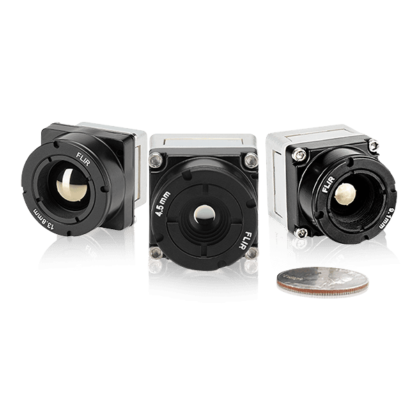
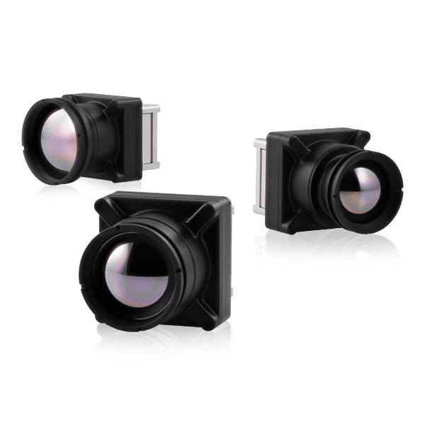
Land — infrared camera hardware

Land

Blinding dust and absolute darkness reduce visible cameras to zero visibility. Rugged uncooled LWIR cores cut through airborne particles and darkness to give drivers clear path navigation and avoid hazards.
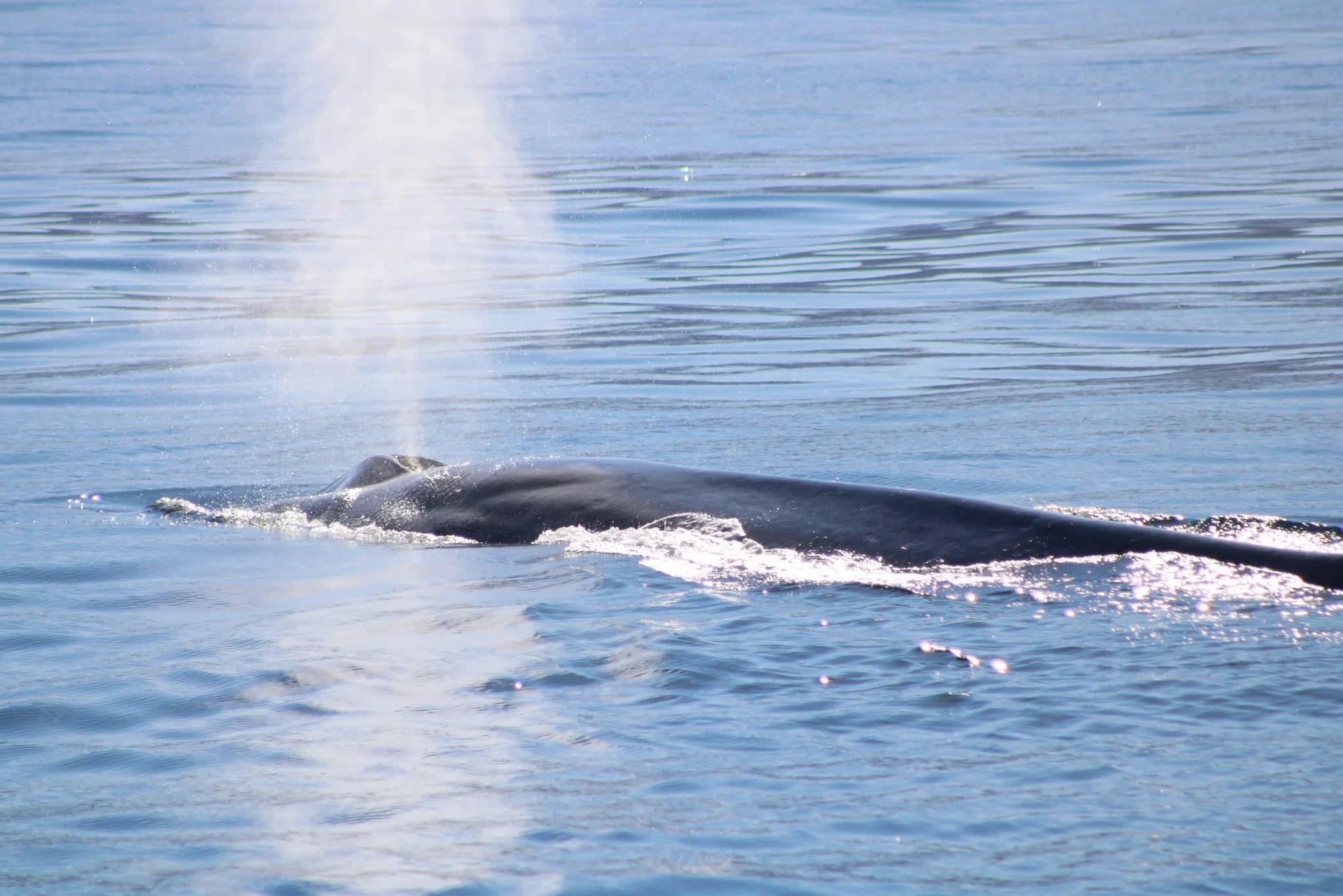
Sea — infrared imagingTracking Marine Mammals
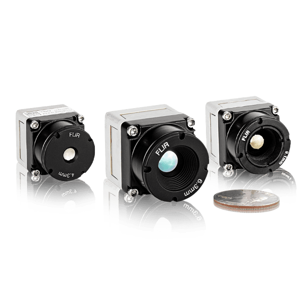
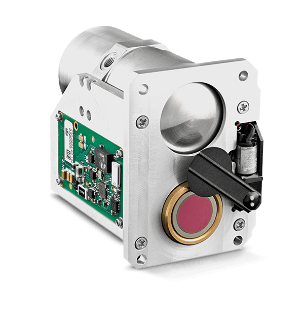
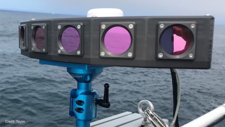
Sea — infrared camera hardware

Sea

Ocean humidity and low-contrast conditions can create heavy “thermal static” that masks marine life from survey vessels. High-sensitivity cores allow researchers to clearly isolate subtle thermal signatures through thick marine layers.

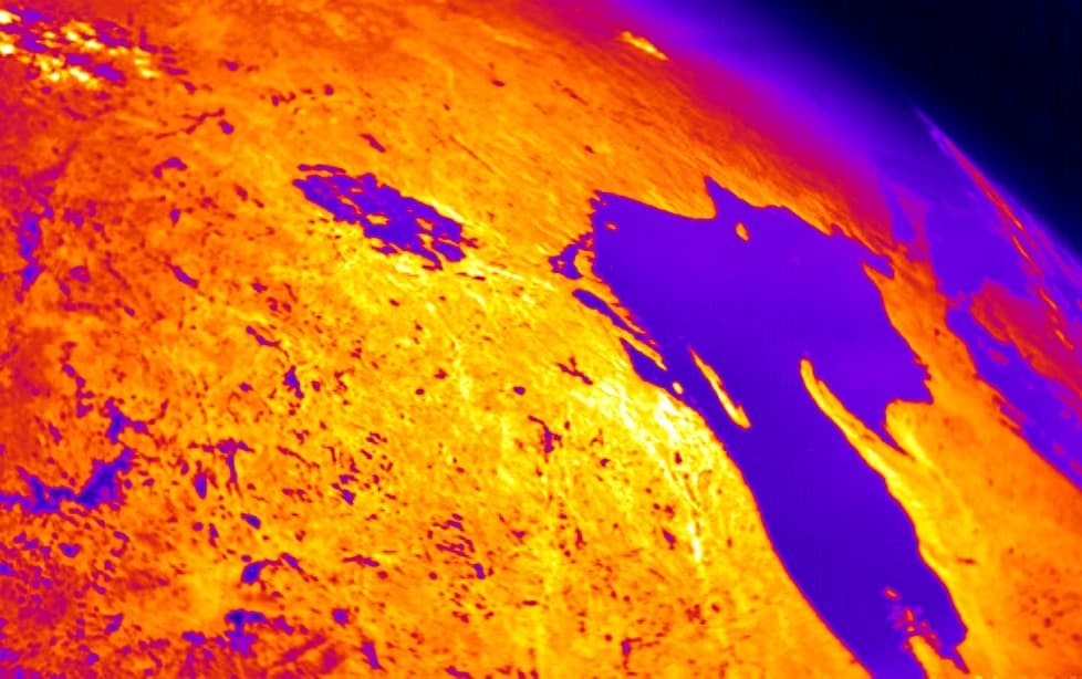
Airborne & Space — infrared imagingLake Superior from Low Earth Orbit

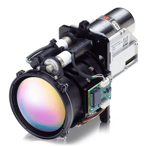
Airborne & Space

Monitoring planetary features from altitude requires capturing detailed surface data through changing atmospheric conditions. Infrared delivers the thermal data needed to track climate shifts, map agricultural health, and monitor wildfires.

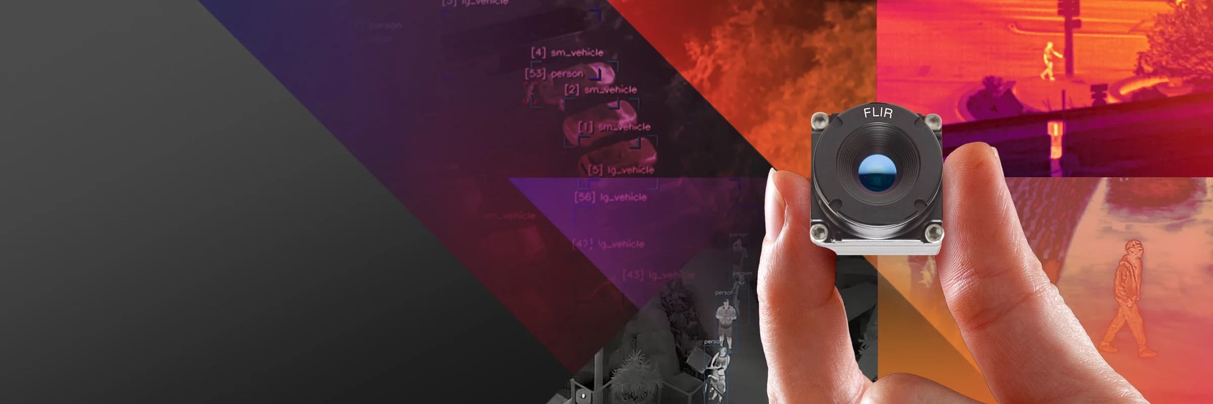
A thermal camera core held over a montage of infrared detection imageryDATASHEET → FIELD
Why MTech

Bridge the gap between the datasheet and the real world.

Two Decades of Infrared

Our team carries 20+ years developing and integrating infrared imagers. We've seen the failure modes — and how to design around them.

Educational Resources

Infrared is complex, even for seasoned engineers. We arm your team with the references and guidance to make confident, defensible decisions.

Continuing Support

From initial selection through maintenance and program sustainment, we provide the ongoing technical partnership your roadmap depends on.